Betax Community Tutorial
01 May 2017Here are some screeshots provided by Tsiry Sandratraina for using the scripts I provided earlier.
First, open Google Maps in a Browser and go to the view of the bus stop where the bus line start.
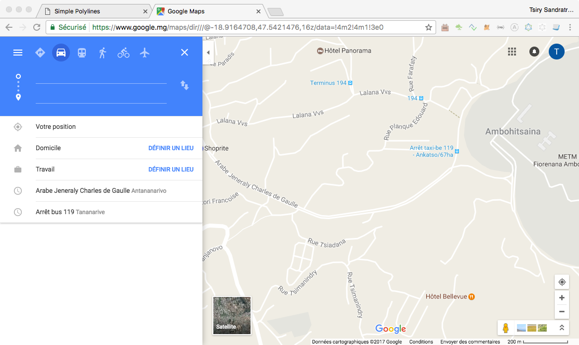
Click on the Input for the Start Position and then click on the related position in the Map. You can refine it by dragging the point in the Map.
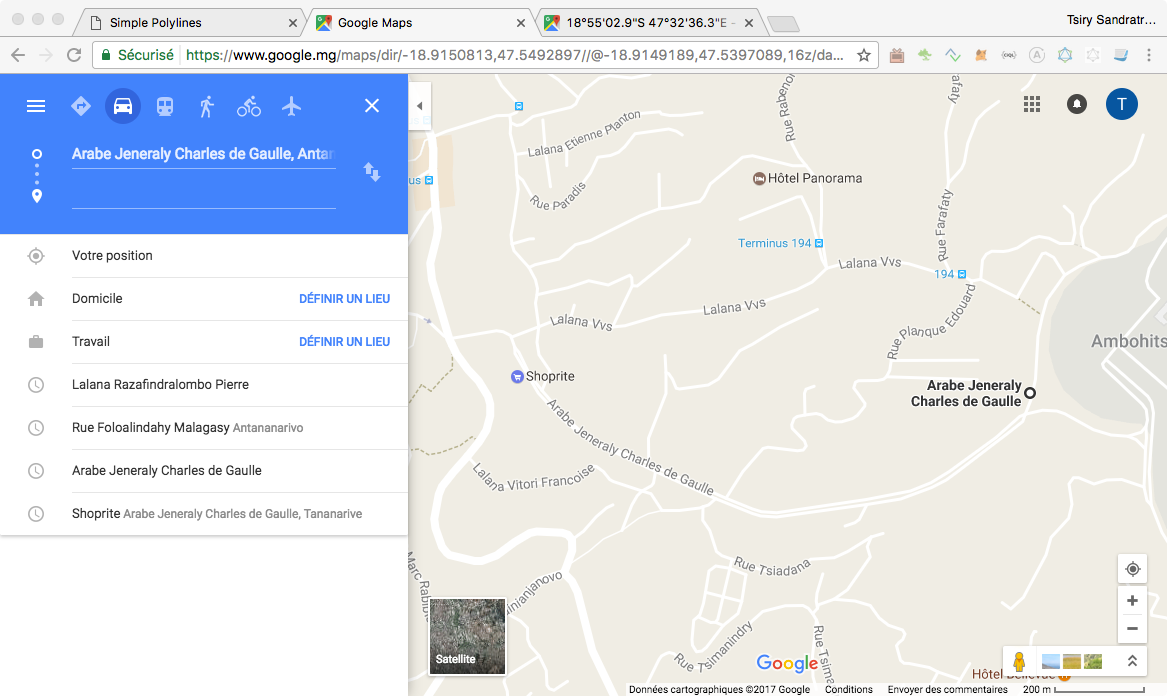
Repeat for the following way points.
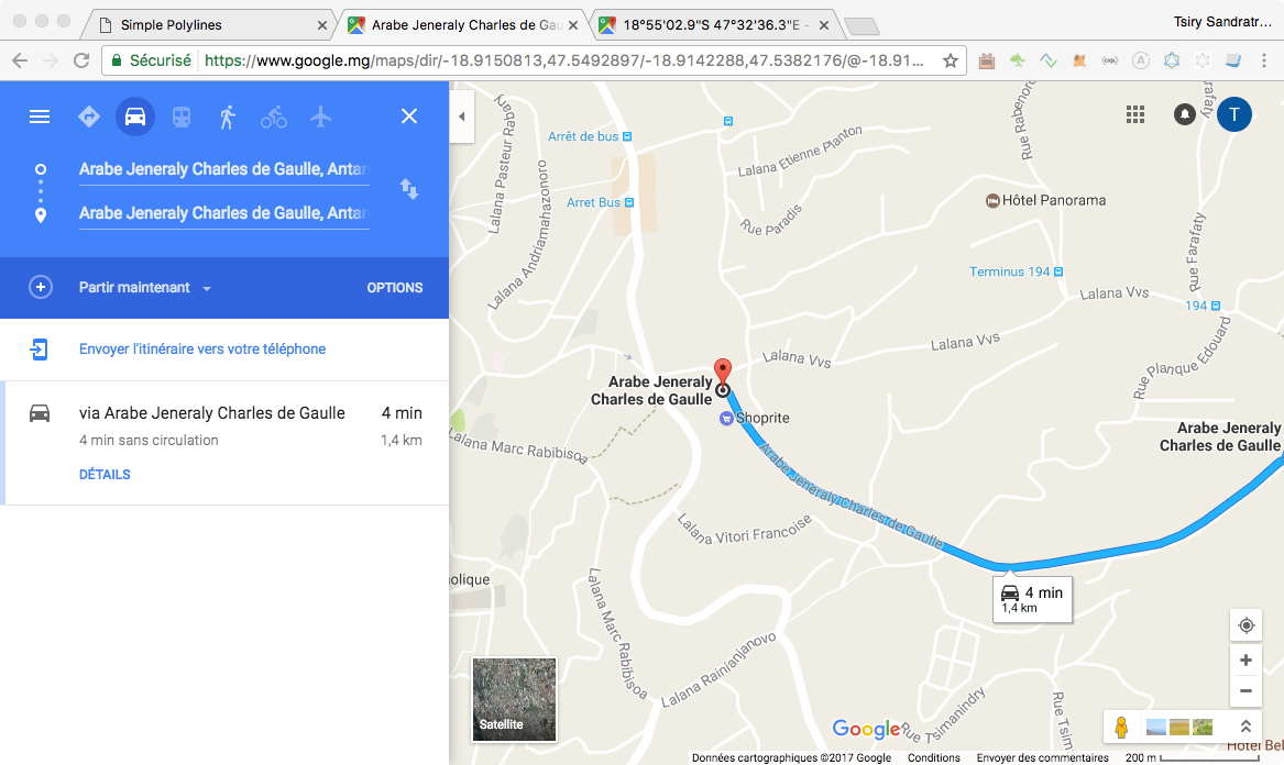
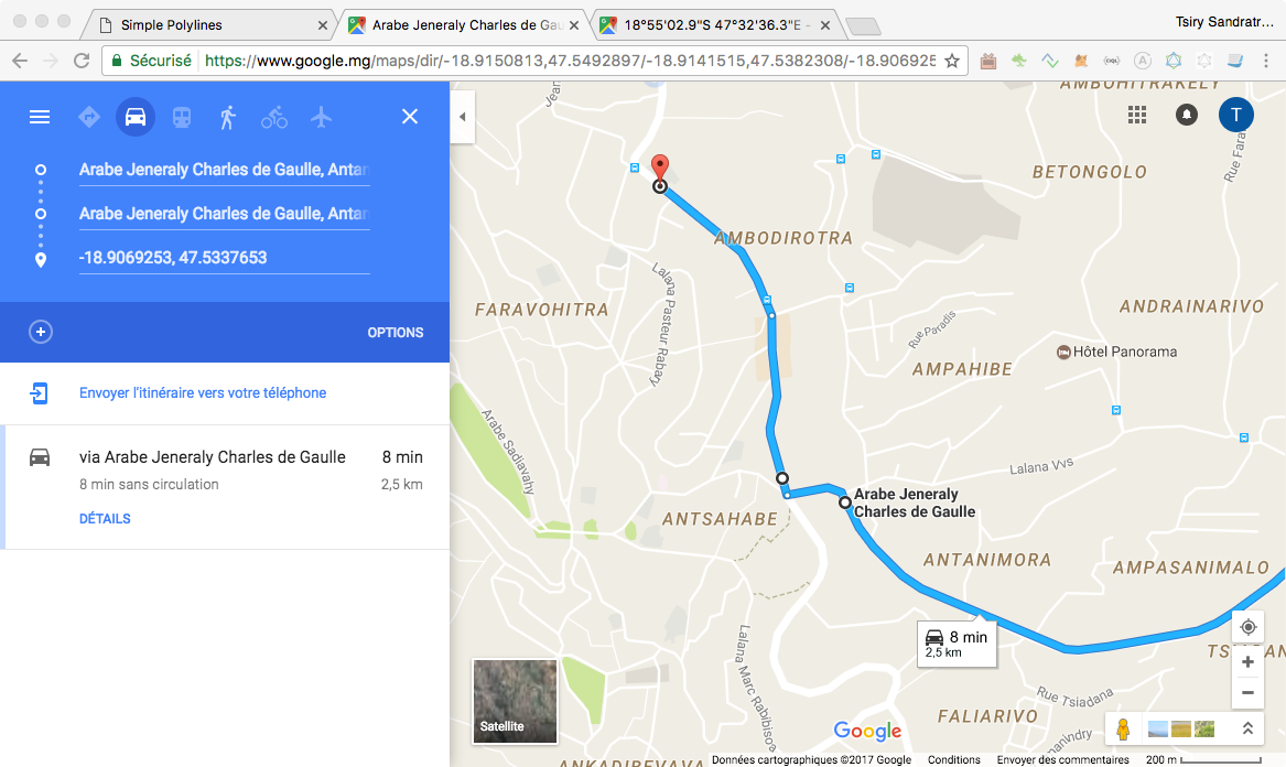
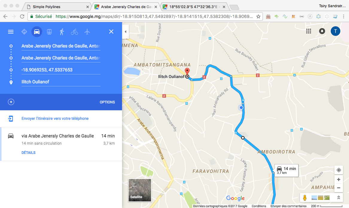
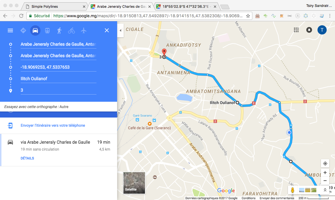
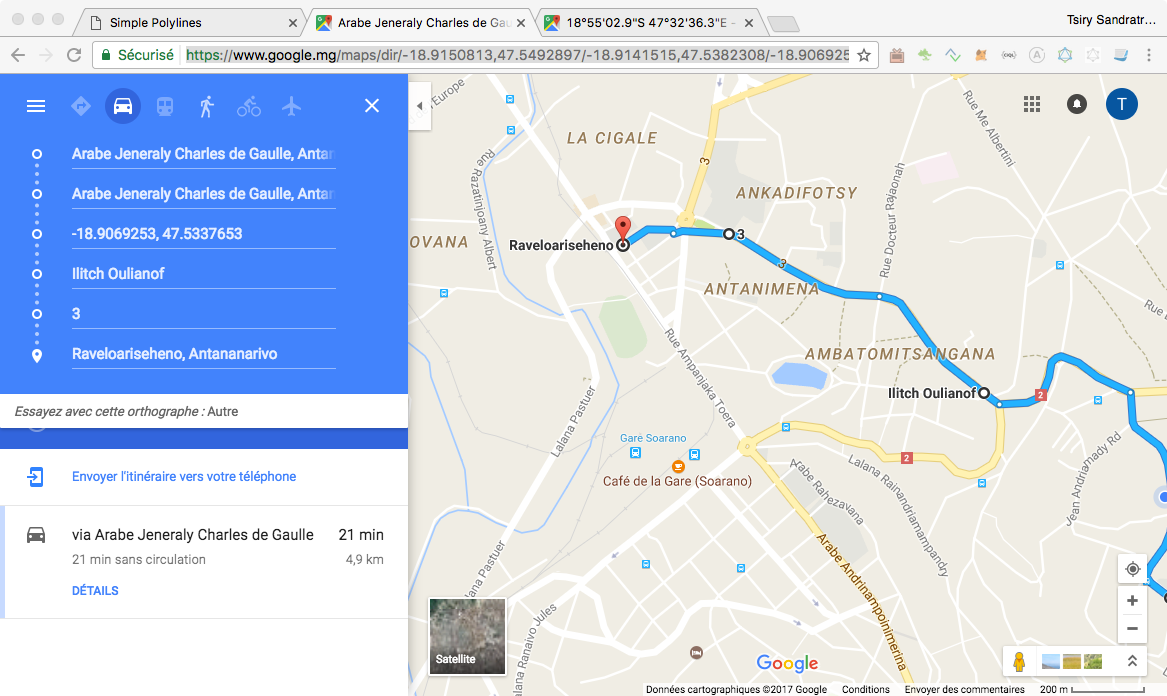
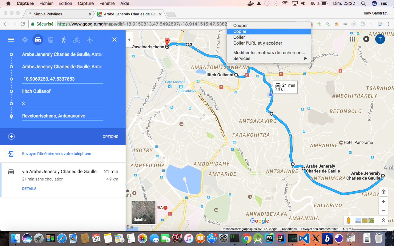
Copy the URL in the address bar of the Browser to a text file.
Use the command line toolchain previously released which can be found here : BetaX Community
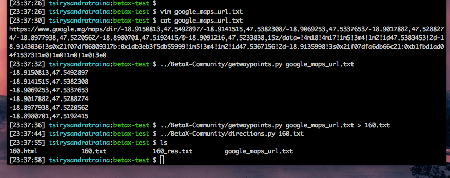
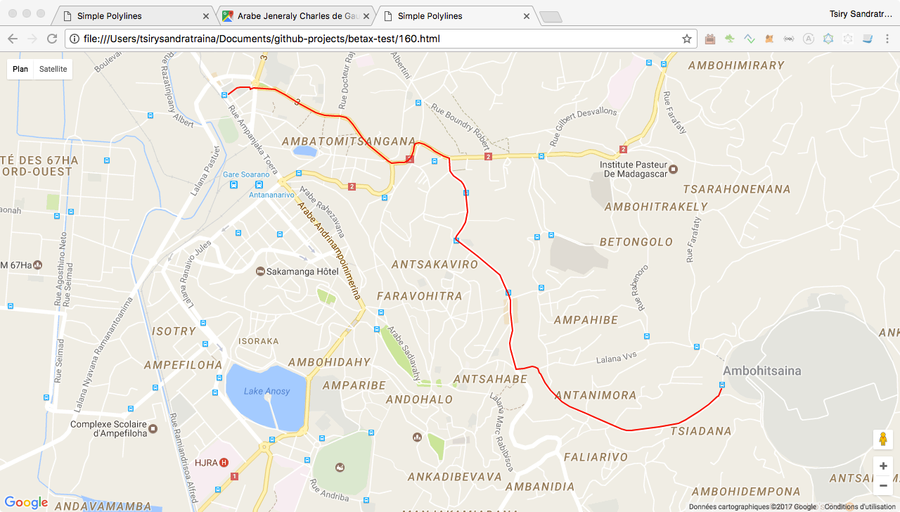
Open the generated .html file which will display the route in a Map.
Last but not least, fork the repo of BetaX community and send a pull request ;)